Mapping Underwater Landscapes with Advanced Technologies
Mapping Underwater Landscapes with Advanced Technologies
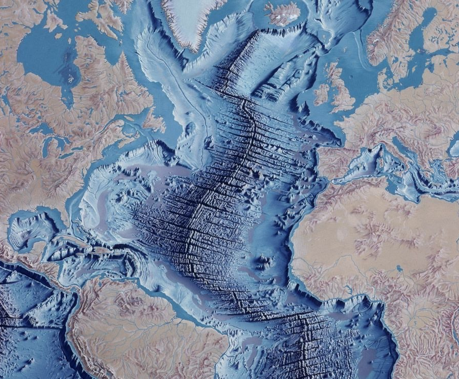
The Meta Dive platform brings together advanced technologies to create a detailed map of underwater landscapes.
By using cutting-edge tools like mapping systems and underwater vehicles, we gather high-resolution data.
This information allows us to analyse the shape of the underwater terrain, study its natural and human-made features, and understand its ecological structures.